Glenfinnan to Inverie: Britain’s most remote pub - The Old Forge

First of many pints at Britain’s most remote pub
Having read an article in the Guardian newspaper a few years ago about hiking to Britain’s most remote pub, Tom promptly added it to his bucket list. There’s not much we love more than hiking and pubs. The Knoydart Peninsula in which Inverie is located looked wild and isolated, the base for great adventure. The route in the article started at Kinloch Hourn and was only 14 miles long, but this was logistically difficult for us as we were travelling in our motorhome and there was no way that we could leave our van there and get back to pick it up in the limited time that we had.
To make this more viable for us we decided to look at alternative routes to hike to the pub, and found that there was a way to get there from Glenfinnan. The route would be a little more challenging and an additional 15 miles, but it would work for us as we could park our van in Mallaig and get the train to the starting point in Glenfinnan, and then once we’d done the hike we could depart Inverie by ferry direct to Mallaig and pick our motorhome back up.
The route via Glenfinnan was around 30 miles, and we couldn’t get started until 11am on the first day due to train times so we decided to break the journey into two days and stay at A’Chuil bothy, around 13 miles in. The route would take us across some stunning scenery, from exposed moorland, pine forests, up and over munro’s and around the edge of crystal clear lochs.

On the route, day 2
Start point: Glenfinnan railway station
End point: The Old Forge, Inverie
Average duration: 16-18 hours (it took us around 15 hours over 2 days)
Distance: 30 miles or 50km one way hike
Elevation gain: 1928m
When to go: April-September best weather conditions – in winter snow and ice could make the track impassable in places and crampons would be required
Difficulty: Difficult
Accommodation: We stayed at The Gathering B&B in Inverie for 2 nights to soak up the atmosphere of the Knoydart peninsula
Maps/Info: The walking route is not signposted at any point and there is no information provided by Scottish tourism websites online. As there are a few bothy’s on the route (Corryholly, A’Chuil and Sourlies), you’d be better off researching those to get an idea of the terrain you’ll be dealing with on this hike.
All Trails provides a great downloadable map which will sync onto Google maps/Maps me/other formats as required:
https://www.alltrails.com/en-gb/trail/scotland/highlands/glenfinnan-inverie

Inverie from up above, The Old Forge pub in the middle of the buildings
The hike:
Day 1 – Glenfinnan to A’Chuil bothy (13 miles)
We started our hike at Glenfinnan railway station, having got the 10:10 service from Mallaig, we arrived at 11:00am. It took us quite some time to actually find the start of the hike as the trail was so hidden – it’s on the platform across from the railway building, which is the platform you arrive into from Mallaig – but walking up and down the platform provided us with no clues as to where the trail was. We ended up asking someone who worked there and they showed us the hidden and very overgrown start of the trail, with no signposts or obvious entry point.
The start of the hidden trail
Following this trail for half a mile brought us to a very busy area with several viewpoints of the Glenfinnan viaduct, made famous by the Harry Potter films and a big tourist attraction with a visitor centre. The trail takes you underneath the viaduct which is very cool and once you’re on the smooth track heading away from the bridge you’re unlikely to see anyone else for quite some time. The track is great underfoot for about 2 miles, going past a few houses and dwellings until eventually you’ll see a huge house which is actually Glenfinnan lodge. Just before the lodge we saw lots of deer on the path and they weren’t scared of us, allowing us to get some great photos of them up close.

At the T junction near the lodge you need to turn right, and just down the track another half a mile or so you’ll see the Corryholly bothy on your left hand side. We didn’t know it at the time as we ploughed on past but this bothy is a “posh” bothy, complete with electricity, a kettle and power sockets for you to charge your devices!

As the track was good underfoot and the weather was good we continued on past the bothy. The path turns from tarmac to gravel at some point near here but it’s wide and easy to follow for another few miles, with a gentle incline at first soon turning into a steep hill climb. There is a river/small body of water which you follow and predominantly keep on your right hand side, although you do cross over it a good few times in the next hour or two.

The incredible view behind us as we neared the top of the first big climb
The hill continues for a couple of miles and the path isn’t always obvious whilst you’re hiking this section, but aim for the valley between the munro’s that surround you and keep heading uphill. You get some amazing views behind you once you’ve reached a good height.

Big climb on day 1
Once you’ve crested this big climb, you’ll be on (relatively) level ground for a while but the path once more disappears and reappears regularly, keeping you on your toes trying to navigate across it. You’ll spot a cairn of rocks and a gate that leads to nowhere. Go through the gate (or around it) and continue across the plateau. We stopped here for a sandwich as we could see there was bad weather ahead across the hills and thought we’d eat whilst we were dry! This would have been about 6 miles in, so almost half way for the day.

Lunch stop day 1
Continuing on, we began a gentle descent which lasted a few miles. The weather worsened, winds picked up and rain came in, so it was on with the rain coats. The track underfoot was quite boggy and marsh-like in places, so we did our best to avoid getting wet feet.

Bad weather in the direction we were headed
The descent went on for quite some time, and when we reached the bottom, the marsh-like landscape was everywhere and unavoidable. This could have been due to the time of year – April – meaning that there had been more recent rainfall and not enough sunshine to dry the fields out. We got damp feet and continued on. We came to a bridge which we crossed (a new bridge which had been interestingly constructed over the old bridge which was falling into disrepair below us, not quite sure about that logic!) over the water and a gorge in the landscape. Across another field of marsh we kept left on the trail and ended up on the side of a sort of hill on a very narrow part of the track; to our right was a steep drop off and a beautiful waterfall.

Tom on the bridge just before the pine forest
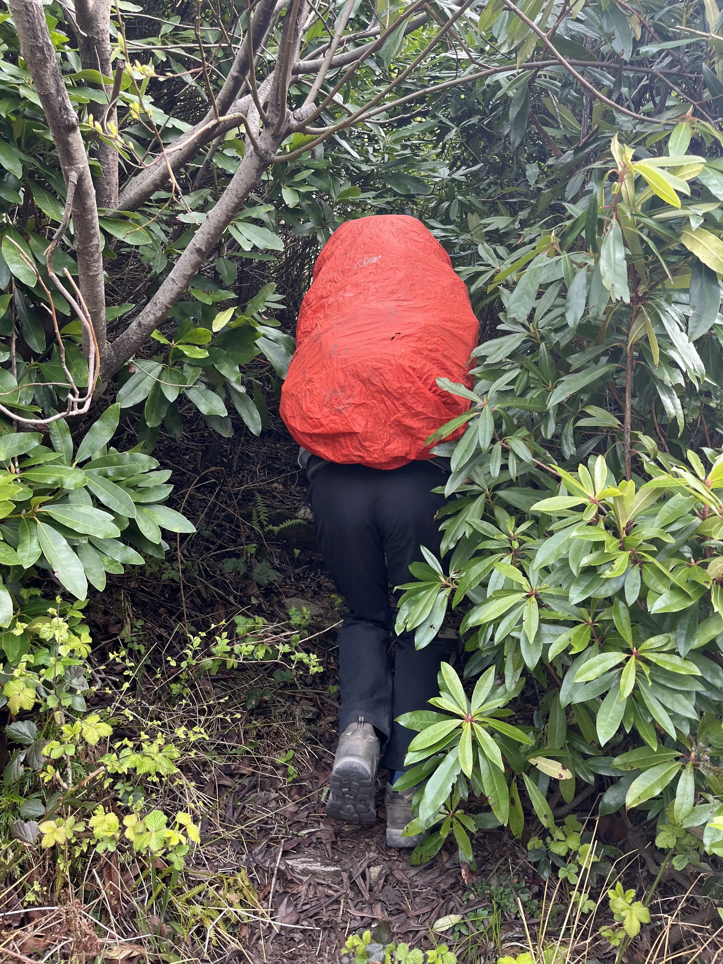
Another mile of walking across marsh land and we could see the pine forest in the distance – we knew that the A’Chuil bothy was the other side of the forest from our research. The rain was really set in now, so we were soaked, but we knew we only had another mile or two to go. We trotted on in our wet shoes and took in the beauty of the forest steeped in misted cloud and rain… Not! I had my hood up and my head down against the driving weather.
At some point the track took us towards the forest and we entered it, giving us some shelter from the rain and a great track which was easy to follow and nice and solid underfoot. Another 20 minutes walking and we’d walked straight past where the bothy should have been…

The forest track
Hmmm, we looked around, confused and unsure as our map had told us we’d gone off course. Backtracking, we found a small footpath off to the right hand side of the main forest track, going steeply downhill into denser woods. We followed this, and found two other people who were staying at the bothy whom were out collecting wood for the fire!

A’Chuil bothy
We set up for the night in A’Chuil bothy, hung up our wet clothes to dry and got some dry socks on. The weather cleared so we were able to get the drone up and get some great footage.

Drying our stuff out in the bothy
Day 2 – A’Chuil bothy to Inverie (17 miles)
We didn’t sleep very well in the bothy – it was cold and uncomfortable. We got up at 5.30am and ate our breakfast, packed our bags and departed as quietly as we could to avoid waking the others, departing around 6am. Tired and groggy, the first part of the walk passed in a blur. It was great track underneath as we continued along the forest trail, it was misty and drizzly which meant that visibility wasn’t great but we did see some deer and the surrounding weather made them seem mysterious and magical.
We came to a beautiful loch and the weather was dry so we got the drone out again and shot some footage. The loch was huge and surrounded by beautiful munros on all sides, it even had a sandy beach.

The path around the loch early on day 2
Around 4 miles in the path began to do it’s thing and disappear again, making it difficult to navigate and leaving us relying on Tom’s Garmin watch (Fenix 5 Sapphire) which is rarely wrong and enabled us to find our way. The path was again quite soft underfoot in places and we did try to avoid getting wet feet for a while by routing around the main path.
The path then went steeply uphill and we had to scramble and rock climb along the right hand side of the valley on a hillside. The visibility had improved and it wasn’t raining which helped, although the rocks were very slippery and we had a few near-misses on our way up. The descent from this munro and down towards Sourlies bothy (around 7 miles in to day 2) was very difficult and slow going. The rocks were so slippery and the incline so steep that one wrong step could lead to one or both of us tumbling down the side of the hill and really hurting ourselves. We were cautious and careful and only had one real moment of worry when I slipped down a huge rockface and also completely took Tom’s legs out from underneath him. He was unhurt but I’d bruised my right thigh, twisted my right ankle, hurt my left hip and landed oddly on my right hand, hurting my fingers. After a cry and a quick check over I decided I was ok and we continued down towards the bothy to assess my injuries properly before the weather came in.
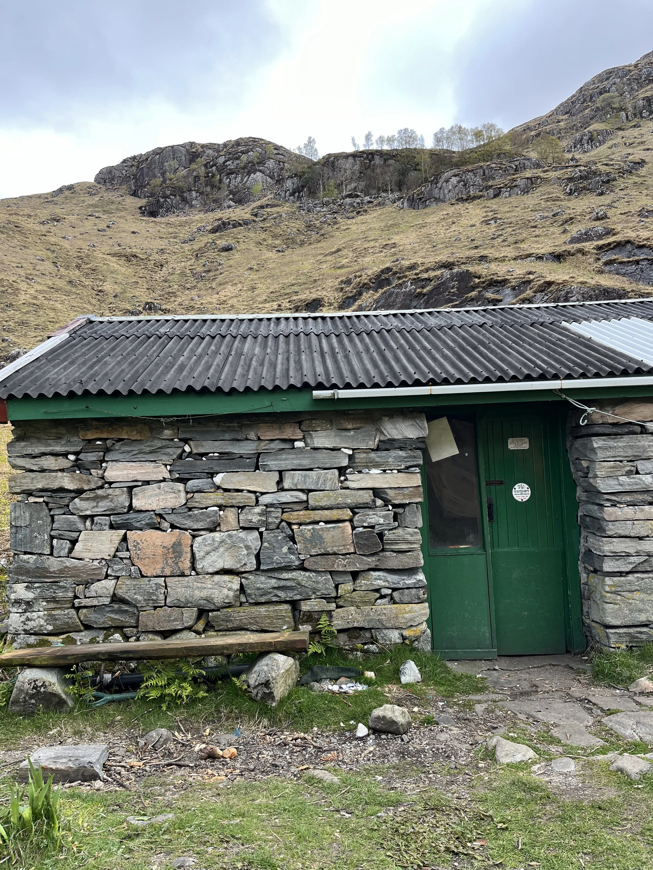
Sourlies bothy
We arrived at Sourlies bothy around 10am, which was very slow going for 7 miles having departed at 6am. The route up until this point had been much harder than we’d expected from our research of the trail, partly due to the weather and the conditions underfoot. Resting at the bothy we decided to have our lunch as although we weren’t quite half way to Inverie, rain began hammering down on the roof and we decided to eat whilst sheltered and recoup our energy before beginning the final 9 miles of the hike.
Leaving the bothy at 11am, we set off out a short steep uphill section and back over the other side, losing sight of the bothy almost immediately. There was then the issue of crossing the “marsh-land” for around 1.5 miles. We knew this was coming, as it was on the map and on all reviews and blogs about the hike. Between where we stood and the ascent of the largest and final munro was a marsh-land unlike any we had crossed so far, but we had no choice but to cross it. There was a large metal bridge which we knew we needed to head towards and so we set off, following the trail which was clear and dry for the first half a mile, giving us a false sense of security that maybe this section wouldn’t be as bad as we thought.
Soon proved wrong, we lost the trail completely so blindly headed towards the bridge across what looked like dry ground but was actually deep marshlands and very wet underfoot. At points our feet were completely submerged in the ice-cold water of the boggy field and we couldn’t do anything about it but trudge on. Our boots filled with water and squelching away, we eventually reached the bridge.
Crossing it, you need to turn right and then take a trail off to the left hand side. The path is difficult to find at first but once you’ve got it it’ll begin to take you up the side of the biggest munro of the hike. This munro was nicknamed “The Bastard Hill” on a review we’d read prior to the hike – both hilarious and accurate. The ascent is 2 miles long, very steep and difficult and the elevation gain is 533m (but feels like much more!). You cross a waterfall a few times using rocks so be careful as it’s easy to slip. We actually didn’t find this munro climb too bad as we had been expecting it and although it is an extremely big climb it felt quite good to be on the final big ascent before Inverie.

The “view” from the top of “Bastard Hill”
The weather wasn’t great on the ascent and as we climbed higher we entered the clouds where visibility was poor and drizzly rain set in for the entire climb. Once at the top, we took a breather and admired what view we could see behind us (not much due to the weather!) and then continued on across a short, flatter plateau around the edge of the munro. As we came out the other side, losing all views behind us, we gained a view down over the valley and, in the distance, we could see the sea and the bay of Inverie which looked as though it was the only place around in the sun.

Inverie in the distance - is that sun?!
This view spurred us on and the trail was good underfoot for a lot of this section – still wet and soggy but easy to follow and we already had incredibly wet feet so we picked up our pace. We still had about 6 miles to go to reach Inverie but we finally felt that we were making quicker progress. The trail takes you downhill at a gentle incline and with not much to think about as the track unfolds before you in an obvious and inviting way.

The gentle trail for the final two miles to Inverie
Coming down off the hills we paused to look back at the giant of a munro we had summited and traversed, feeling accomplished and tired. Eating our final snacks before we started the final 3 miles to Inverie, we paused to sit by a bridge and the sun came out.
Feeling more determined than ever to arrive at Britain’s most remote pub, we picked up our bags for the last time and did the last 3 miles in one go, with smooth gravelled track leading us all the way to Inverie, and tarmac eventually taking us the final few hundred metres to the Old Forge pub.

The tarmacked road to the pub alongside the seafront
We arrived to scenes we’d dreamt of. People out on picnic benches, pints being drunk, sun shining warmly, the sea a sparkling jewel. We threw our bags down, grabbed a pint and joined in, staying there for several hours to soak up our achievement. Here at last. Britain’s most remote pub, and quite possibly, Britain’s last wild frontier.

Arrived. Cold beer anyone?