Three Country Point: BE, DL, NL

Have you ever dreamt of being in two places at once? Well, how about three?
This 20km circular walk takes in small villages, forests home to giant trees and incredible vistas. But most interestingly it also takes you up to the highest point in the Netherlands, which is the place where the country meets Belgium and Germany; “Three Country Point” or Dreiländerpunkt in German. I always thought the idea of doing a walk along borders would be cool and when I saw this hike online I thought yeah, lets hike through three countries in one day!
Historically, between 1816 and 1919, this point used to be the meeting place of four countries, including Neutral Moresnet. “What country is that? I’ve never heard of it” I hear you ask…
Neutral Moresnet was also on this border point between Belgium, the Netherlands and Germany. It was a tiny country but had it's own flag, stamps and border (think Monaco or Vatican City). The country came into being after the fall of Napolean when the Congress of Vienna was redrawing the borders of Europe. In Neutral Moresnet, a zinc mine existed and noone wanted to give up control over it; this meant that it became its’ own independant land until 1920, when the territory of Neutral Moresnet was incorporated into Belgian land. There is not much information about this country on the walking path but you will walk down a section of road called Viergrenzenweg, which means “Four borders road” in Dutch.
Anyway, if hiking through 3 countries in one day doesn’t do it for you, it may excite you to know that the walk also takes in the highest point of the Netherlands; The Vaalserberg. At just 322.5m high it’s hardly Everest, but still something you can say you’ve done!

Starting the walk off excited and cheery!
Start/end point: We started and ended at Aachen West train station, adding an extra 4km onto the 18km loop. The All trails route which we followed starts from outside the University Hospital of Aachen.
Average duration: 5-6 hours
Distance: 22km loop walk
When to go: Year round
Difficulty: Moderate - wear trainers or walking boots as some sections were steep climbs, very muddy underfoot and there was also snowfall and ice when we walked this route in January
Maps/Info: A popular area for hikers, once you get towards the Three Country Point you will see lots of people out walking or that have driven directly to the car park at the top! Some of the walk is signposted but as there are so many footpaths across this area its best to follow the All trails route below.
All trails provides an in depth guide of the walk here: https://www.alltrails.com/de/route/germany/north-rhine-westphalia/grenzroute-6-vallis
The hike:
You’re beginning this hike of three countries in Germany. Starting off from the train station you need to navigate your way to the University Hospital of Aachen, from here you follow Schneebergweg road, for quite some time (approx 4km). The road is flat as is the land either side. It is not a busy road and when you cross Schurzelter Strasse, continuing straight on with the golf club on your right hand side, the road eventually turns into a footpath.
On a cold Saturday morning in January, the only other people we saw on this section were dog walkers and the main thing that caught our attention were numerous majestic birds of prey. Schneebergweg takes you all the way to Lemiers on the border with the Netherlands, with the village being part German territory but mostly Dutch. A quaint village with several houses, a historic castle and church, it is a lovely place to wander around and very quiet.
The route takes you through the village, past the castle and out the other side onto a footpath which follows a brook. Crossing over the water on a small wooden bridge takes you up onto open countryside, passing the odd farm here and there.

The path takes you through the village of Lemiers
Continuing on the footpath for another kilometre or so, you come to the main road N278 which you cross straight over and continue down a footpath/bridleway which is clearly signposted to the left of the De Kornuiten van Koraal garden centre and cafe.

Junction with the main road N278 where De Kornuiten van Koraal is visible on the right
Continue another half a kilometre on this footpath until you reach another, much smaller, road ‘Harles’, turn left and immediately right onto another footpath. This section of the path was quite muddy and this was the first part of the walk which felt as though we were ascending at a slight gradient.
On several muddy sections we had to skirt the footpath, using higher banks to get around the worst parts. Once you get to the end of this section of path you meet the Vaals-Vijlenerweg road and once again you cross straight over onto more footpath. In a kilometre or so you will enter the Vijlenerbos national forest park which covers a large area; approx 20km wide at points. The scenery changes almost immediately to one of giant tree-lined paths, scattered grasses and native bush; you may spot woodpeckers, sparrowhawks or owls whilst you’re here. If you have time, stop at the Boscafe ‘t Hijgend Hert; an enchanting eatery in the middle of the park which feels very alpine - https://www.boscafe.nl/home/

Section of path thorugh Vijlenerbos forest park
The route across the national forest is a slalom through different cycle-routes, bridleways and footpaths, which all interconnect and criss-cross frequently so it’s best to follow the route on your phone or GPS watch here so you don’t take a wrong turn. There may be a few obstacles in your way; we had to clamber over at least four different sections of fallen trees throughout the park.

Still hiking on through the forest park you will cross another road Epenerbaan, crossing straight over to stick to the trail; continue on this path for another half a kilometre before taking a left turn which directs you east. For the next 5km you will be winding across borders of Belgium and the Netherlands. Tom and I got about 15 texts saying “Welcome to ….” with text and call rate advice on!
This section of the walk is one of the steepest sections; you start to gradually climb on the trail and then the walk becomes more or less hill-like in nature; what I’m trying to say is that you’re gonna go up a big ole hill now! Be careful in adverse weather conditions; when we visited the path was muddy one minute and icy the next, neither surface ideal for hiking on.

Yes people, that small grey stone slab behind us is Three Country Point!
Coming out onto a main road, the N608, you cross onto a bridleway path which continues to lead you uphill until you reach a plateau and eventually come out at Three Country Point. A busy and touristy place, not just for the fact that three countries meet here, but due to a children’s play area, a labyrinth maze, several restaurants and a viewpoint tower which you can pay 4 euros pp to go up. Both Tom and I favoured having a swift drink here over seeing the view from the tower.

Let’s go on a 6 hour hike in -2 degrees I said, It’ll be fun I said… *I can’t feel my hands or face in this picture
After stopping for a drink at the top and looking at the monuments, flags and information (sadly not in English!), we continued on our way; at least this part will be downhill…

Just before the ice-covered path descended into a scramble down the side of a hill
Wishful thinking gets you nowhere folks… Downhill it was, but covered in ice which made walking down it very difficult indeed. Probably the hardest section of the walk for us, the first section of the walk back towards Aachen led us through forest pathways downhill towards Vaals. After we navigated the slippery as f*** pathway without dying or breaking bones (but with lots of swearing), the path led us out to much flatter, much more manageable pathways and a great vista of Vaals on the horizon. At this moment on our walk, the sun decided to come out, which felt monumentous and made us both a bit giddy.

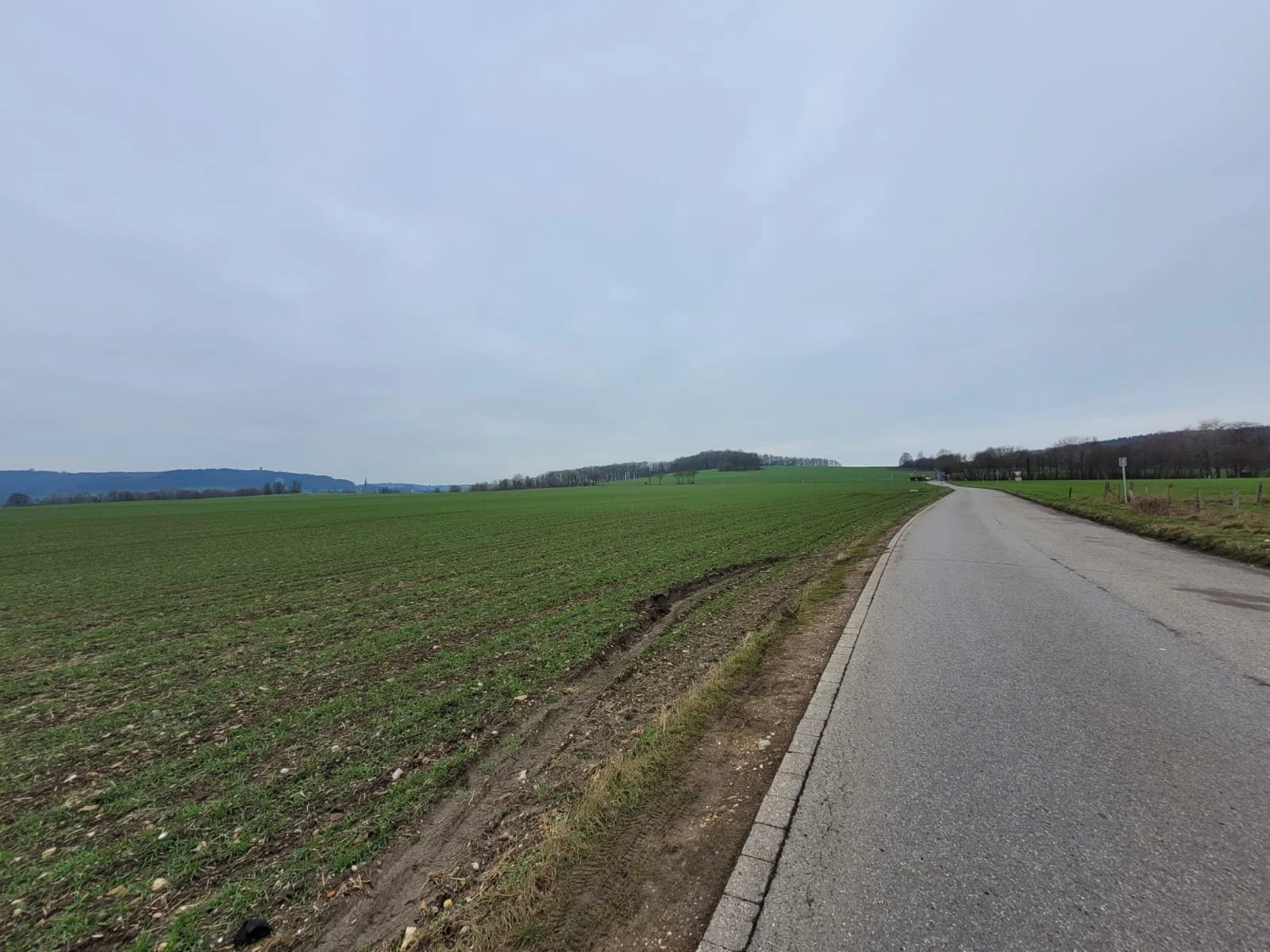
View over Vaals with distinctive Sint Pauluskerk church spire visible in the middle
High with the freedom of those who have discovered paths free of ice and relatively flat, we almost skipped down into Vaals where we wondered the village streets taking in a better view of the church which had dominated the horizon for the last couple of kilometres. We also stopped at a supermarket here to stock up on snacks and well-deserved beers for the train home!

Sint Pauluskerk church in Vaals
Continuing on the pathway which leads you out of Vaals, a town situated just over the border in the Netherlands, you will quickly find yourself crossing the border back into western Germany. You walk along Schurzelter Strasse for a few minutes before you meet the path you took before - to your left, the golf course and the footpath you took near the start of the walk. To complete the loop, turn right here back onto Schneebergweg and head directly east back past the University Hospital and then onto the train station.
20km hike ✓
Highest point of the Netherlands ✓
Three country point ✓
You bossed it! Time for a drink before the train leaves…
Head to Auf der Hörn for refreshments - best part? It’s right opposite Aachen West station. Enjoy!

Tom and I being goofy and giddy when the sun came out after Three Country Point